A City Built on a Floodplain
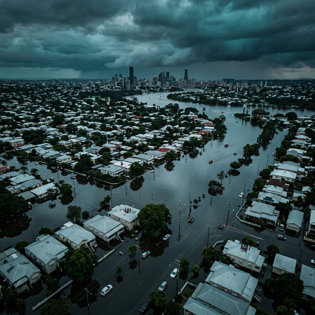
Brisbane is a river city. Its location explains almost everything about its character, its geography, and its recurring vulnerability. As the river meanders towards Moreton Bay, it carries not just the water of the city, but the drainage of a massive 15,000-square-kilometre catchment.
This archive covers more than a century of hydrological history, from the catastrophic 1893 "Black February" floods to the 2022 compound event that caught a modern generation by surprise. While our engineering has improved, the sheer volume of water delivered by Queensland's tropical systems remains a humbling force.
Drawing on Queensland Reconstruction Authority studies, Bureau of Meteorology data, and independent economic analysis, this collection presents a rigorous account of the science, history, and profound human cost of floods in South East Queensland.
Article Chapters
About This Archive
The Floods Archive was developed to provide a fact-based, rigorous history of severe inundation in South East Queensland. It forms the third installment of the Australian Severe Weather series.